Indus River | Indus River Map, System, Pollution, History and Importance

Indus River

Indus River: The Indus River is one of the most important rivers in the Indo-Gangetic Plain of the Indian Sub-continent. The river Indus flows through India, China and Pakistan. The river originates in the Tibetan Plateau near the Mansarovar lake and flows through the Ladakh area of India and then flows along the entire length of Pakistan and at the end merges with the Arabian Sea.

Top 10 Largest Rivers in India, you would also find the details about Indian River Systems and major rivers of India.

Indus River Details

Origin Originates from the Tibetan Plateau near Lake Manasarovar.
Other Names Sindhu, Sindh or Mehran
Length 3,180 Kilometres or 1,980 Miles
Size of Basin 11,65,000 Sq. Kilometres or 4,50,000 Sq. Miles.
Average Annual Water Flow 58 cubic miles or 243 cubic kilometres
Importance It serves as the major source of irrigation and food production in Pakistan. Serves as the main source of water resources to Punjab.
Reasons For Pollution Industrial Activities, Industrial waste disposal and Plastic waste.

About Indus River

Indus River is one of the most important rivers of the Indian Subcontinent. It flows through three different Countries, i.e. India, China and Pakistan. The river Indus originates in the Tibetan Plateau near the lake Manasarovar. After flowing through China and India, it flows through the full length of Pakistan and finally merges with the Arabian sea near Karachi in Sindh.

The level of the river Indus varies throughout the course of its flow. The River Indus has been given different names by the people of Different countries through which it flows. It has names such as Indus, Sindhu, Sindh or Mehran. It is one of the most important rivers of the Indo-Gangetic Plains.

The estimated annual water flow of the river Indus is about 243 cubic kilometres which is twice than that of river Nile and thrice as compared to River Tigris and River Euphrates combined. This makes the river Indus as one of the largest rivers in the world in terms of water flow.

The Indus river serves as a significant source of water supply in Pakistan. It also supports a lot of heavy industries in Pakistan. The Indus acts as an essential source of water supply for Punjab as well.

Indus River History

The river was first described in the Rigveda which was written in 1500 BCE, where it is described by the name of “Sindhu”. The word India comes from Indus as in earlier days India referred to those areas which were located near the east bank of river Indus.

The major Indian Civilizations such as Indus Valley, Harappa and Mahenjodaro were situated on the banks of river Indus which date back to 3,300 BC. Till date around 1,052 settlements have been discovered along river Indus.

The river Indus must have been initiated by the early Tibetan uplift following the collision of India and Asia. The river Indus has remained since the early Eocene Times. The river Indus is still located in its original position and has moved only 100 kilometres east since the early Eocene times.

Indus River Map

The Origin of the river Indus lies in the Tibetan Plateau near the lake of Manasarovar. It arises at the junction of the river Sengge Zangbo and river Gar Tsangpo. The River flows through three countries of the Asian continent which are namely India, China and Pakistan. The overall length of the river is approximately 3,180 kilometres which is nearly 1,980 miles. The total drainage area of the river Indus is around 11,65,000 sq. kilometres.

The river flows from the Tibetan plateau and enters into India through the Ladakh region and flows towards Gilgit-Baltistan. The river Indus then changes its course toward the southern region to enter into Pakistan where it runs along the total length of Pakistan. Finally, it drains into the Arabian Sea near Karachi.

The Northern part of the Indus River and its tributaries lies in the Punjab region of South Asia, while the southern part ends in Sindh in Pakistan. The Indus river feeds the world’s 2nd largest underwater delta which is the Indus Submarine fans. The underwater delta so formed consists of 5 million cubic kilometres of sediment materials eroded by the Indus river in the course of its flow.

Indus River System

The Indus River is considered as one of the longest rivers of the world in terms of water discharge as it discharges 243 cubic kilometres of water which is twice as compared to the water flow of river Nile. The total length of the Indus river system is around 3180 kilometres. It flows 320 kilometres or 200 miles towards the northwest and enters Ladakh where it joins one of its tributaries, the Zanskar River. Then it continues to flow 240 kilometres before it enters into Pakistan, where it runs along the total length of Pakistan.

The Indus River System has many tributaries that join the river in the course of its flow. The first tributary that joins river Indus is the Zanskar river which is Ladakh. Then the river Indus is joined by the Panjnad river in the left near Punjab which has 5 tributaries of its own, namely, Chenab, Jhelum, Ravi, Beas and Sutlej.

The tributaries that join the river Indus on the right are Shyok, Gilgit, Kabul, Gomal and Kurram. The Indus river system consists of glaciers and snows as it has tributaries that flow through the glaciers of Himalayas, Karakoram ranges and the Hindu Kush mountain ranges.

The width of flow of the river is determined by the seasonal changes, i.e. In winter season the flow of the river diminishes or decreases drastically. While in the rainy season the banks of the river are heavily flooded.

Indus River Pollution

The Indus river serves as the major source of water supply for Pakistan and Punjab. However, with the rapid industrialisation and unmanaged disposal of sewage into the river system has led to the degradation in the quality of water of River Indus. Water pollution in the Indus river is because of many reasons. Out of which the main reason being the dumping of industrial wastes into the river.

The presence of factories near the bank of river Indus as a major cause of pollution of the river. The disposal of industrial wastes in high quantities has led to the death of many aquatic animals in the Indus river, mainly the Indus dolphins.

The other factors that contribute to the pollution in the river Indus are agricultural wastes which include, sodium nitrate, sodium phosphate and other pesticides that increases water pollution. This pollution affects marine animals.

The river is also polluted by unmanaged and untreated wastes that are discharged into it from the cities. The pollution of the Indus has also affected human health in the city of Karachi. Most of the population of Karachi depends on the Indus for drinking water, and boiling the water will not help in reducing chemical wastes. If no proper action is taken to conserve the purity of the river Indus, then it may lead to a drastic downfall in the number of aquatic animals present in the river.

Indus River Importance

River Indus serves as the major source of water for around 180 million people of Pakistan. The river supplies water throughout the year to parts of Punjab and the whole of Pakistan. The agriculture and food production of Pakistan depends mostly on the water supply from river Indus.

The Indus Basin Irrigation System is the most extensive irrigation system ever constructed in the world. This Irrigation system benefits many farmers in Pakistan for agriculture. The Indus River also acts as a medium of transportation for many people.

The Mangla dam built on the river Jhelum and the Tarbela Dam constructed on river Indus acts as a major source of irrigation and flood control. The two dams were built under the Indus Basin Project.

Short Essay on Indus River

India is a land of many rivers, and the Indus river is one of the most important rivers of the Indian Subcontinent. The Indus river originates in the Tibetan Plateau and flows through countries like India, China and Pakistan. The Course of flow of the river ends in the Arabian sea.

The River Indus is considered as the largest river in the world in terms of water flow. The river is approximately 3,180 kilometres in length and has a total drainage area of 11,65,000 km2. The river has different names such as Sindh, Sindhu or Mehran.

The river Indus flows from the Tibetan Plateau and enters India through the Ladakh region. It then enters Pakistan and runs along the full length of Pakistan. The River has many tributaries on both sides. The left tributaries of Indus river are Zanskar river, Panjnad River whose branches are River Jhelum, River Ravi, River Beas, River Sutlej and River Chenab. The right tributaries of river Indus include Shyok, Gilgit, Kabul, Gomal and Kurram rivers.

The Indus River serves as an important source of water supply to Punjab. It is considered as the backbone of water supply for Pakistan. Entire Pakistan depends on the Indus river for irrigation and food production. It also supports many heavy industries in Pakistan.

The River Indus acts as a habitat to a large number of aquatic animals. The Indus river dolphin is the species of dolphin that are found only in the Indus river. The Indus also serves as a home to almost 180 freshwater fish species.

However, the growing industrial activities near the bank of river Indus has highly contributed to its pollution. Unmanaged industrial waste disposal is the main reason for Indus river pollution. The agricultural activities also add to the pollution in river Indus. The pollution has affected the lives of many aquatic animals living in the river. If no action is taken to protect the river water from pollution, it can cause severe damage to all the aquatic animals as well as the humans that consume the water from Indus.
Indus River

10 Lines on Indus River

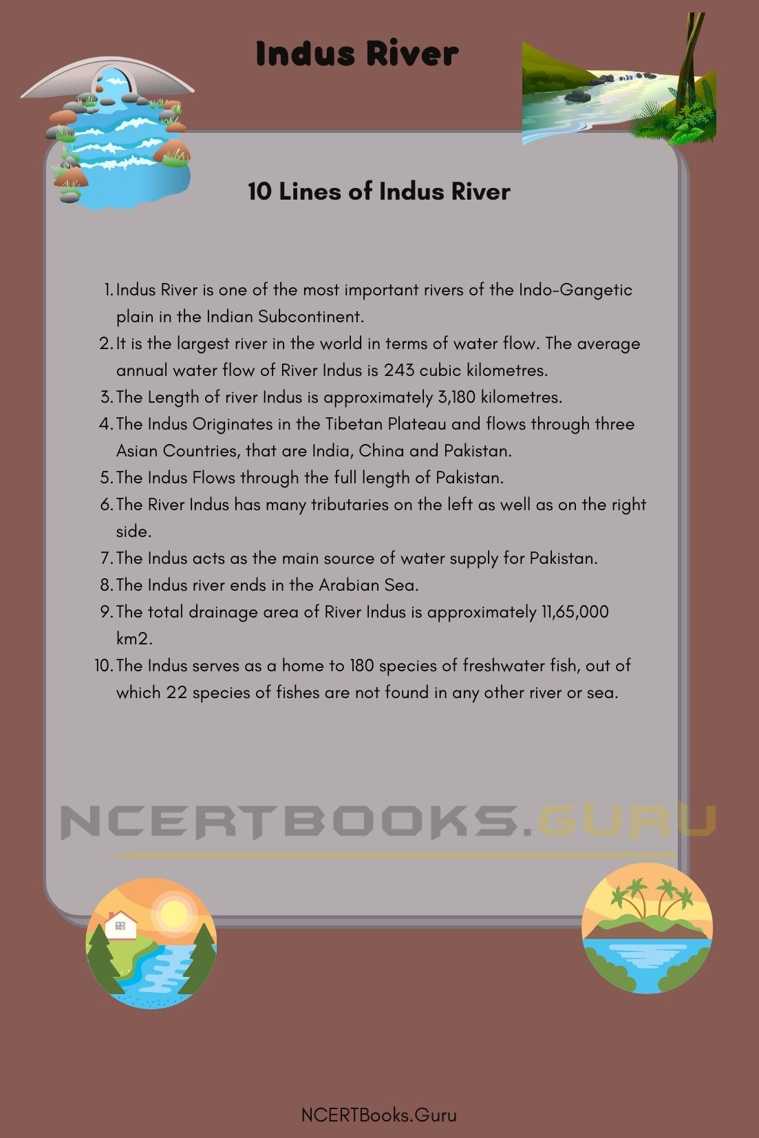
  • Indus River is one of the most important rivers of the Indo-Gangetic plain in the Indian Subcontinent.
  • It is the largest river in the world in terms of water flow. The average annual water flow of River Indus is 243 cubic kilometres.
  • The Length of river Indus is approximately 3,180 kilometres.
  • The Indus Originates in the Tibetan Plateau and flows through three Asian Countries, that are India, China and Pakistan.
  • The Indus Flows through the full length of Pakistan.
  • The River Indus has many tributaries on the left as well as on the right side.
  • The Indus acts as the main source of water supply for Pakistan.
  • The Indus river ends in the Arabian Sea.
  • The total drainage area of River Indus is approximately 11,65,000 km2.
  • The Indus serves as a home to 180 species of freshwater fish, out of which 22 species of fishes are not found in any other river or sea.

Frequently Asked Questions on Indus River

Question 1.
Where is the Origin of River Indus?

Answer:
The origin of Indus river lies in the Tibetan Plateau near the Mansarovar Lake. It begins at the junction of two rivers, namely, Sengge Zangbo and Gar Tsangpo.

Question 2.
What is the length of River Indus?

Answer:
The Length of river Indus is approximately 3,180 kilometres or 1,980 miles.

Question 3.
What is the importance of Indus river?

Answer:
The Indus river is one of the most important rivers of India as it supplies water to many parts of Punjab and neighbouring states for irrigation and other activities. It also serves as the major source of water supply for Pakistan. The whole of Pakistan depends on the river Indus for irrigation and other agricultural activities.

Question 4.
What are the reasons for pollution of river Indus?

Answer:
The growth of industries in and around the Indus river banks are the major sources of pollution of River Indus. The untreated sewage disposal is also a reason contributing to Indus river pollution.
Pulicat Lake History, Map, System, Pollution and Importance

Pulicat Lake

Pulicat Lake is also called the Pulicat Bird Sanctuary. It is one of the famous tourist hotspots in India. Pulicat Lake is located at the border of Tamil Nadu and Andhra Pradesh. Pulicat Lake covers approximately 759 square kilometres.

Pulicat Lake is spread across Nellore Tada, Doravari Satram, Sullurpeta, Tiruvallur District, Chittamuru Mandal, and Vakadu. This lake offers the beautiful sight of fascinating birds. Pulicat Lake is a famous bird sanctuary in Tamil Nadu.

Pulicat Lake Details

States Covered Andhra Pradesh and Tamil Nadu
Length Approximately 50 kilometres or 30 miles
Width 0.2 to 17.5 kilometres
Salinity Level Zero to 52 ppm
Major Inflows Arani river, Kalangi river, and Swarnamukhi river
Colour of Water Blue, green, and red
Reason for pollution Sewage, agricultural chemicals, pesticides, and industrial effluents

About Pulicat Lake

Pulicat Lake is a saltwater lagoon. It extends from the southeast of Andhra Pradesh to Tamil Nadu. The length of this lake is approximately 50 kilometres or 30 miles. Pulicat Lake is located on the sandy plains of Andhra Pradesh. Pulicat Lake yields prawns and salt.

Pulicat Lake is separated from the Bay of Bengal by narrow Sriharikota. Pulicat Lake mixes to the sea at the south end of the island. This lake has the membership of the international network Living Lakes. CReNIEO represents Pulicat Lake. It is the second-largest brackish-water ecosystem in the eastern part of India. It is a shallow lake.

The average depth of Pulicat Lake is one meter. This lake is drained by many minor inflows and three large inflows. Pulicat is a city with historical significance. It is also an important port for trades in Europe and the far east. Pulicat Lake is home to millions of birds, mammals, and reptiles. A wide variety of fishes live in Pulicat Lake.

Pulicat Lake History

An anonymous mariner listed Pulicat Lake in one of his books. S/he mentioned it as one of the three ports on the east of India. In the 13th century, Arabs started migrating to the shores of Pulicat Lake after they were banished from Mecca as they refused to pay tributes to the new caliph.

The houses of these Arabian Muslims are still found near Pulicat Lake. Portuguese and the Greeks made their colonies in this lake. The Dutch got to know about this lake when their ships got stuck on the shores of a village situated on the opposite side of the lake. It was known as Pallaicatta at the time of Dutch colonisation.

Pulicat Lake is fed by the Arani river and Kalangi river. The Buckingham Canal is also part of this lake on the western side. This lake exchanges water with the Bay of Bengal through an inlet channel at Sriharikota. Pulicat Lake acts as a buffer and stores the flood water till the floodwater gets discharged to the sea during the monsoon period. The basins of this lake are situated in Tamil Nadu and Andhra Pradesh. However, most of its part is located in Andhra Pradesh.

Pulicat Lake Map

The Pulicat Lake’s boundary ranges between 80.23 to 80.25 degrees east to 13.33 to 13.66 degrees north. The significant part of almost 96 per cent of the lake is based on Andhra Pradesh and the other 3 per cent in Tamil Nadu. Approximately 450 square kilometres area of this lake is in high tide, and 250 square kilometres area of this lake is in low tide.

The length of Pulicat Lake is almost 60 kilometres. Its width varies from 0.2 to 17.5 kilometres. The tropical monsoon dominates the climate of Pulicat Lake. The temperature of the air in this area ranges from 15 to 45 degrees C.

The type of water in this lake varies from being brackish to salty. Three significant rivers that joined Pulicat Lake are the Arani river, Kalangi river, and Swarnamukhi river. The Pulicat Lake, with its outlet to the sea, is situated in Andhra Pradesh. The salinity of the water of this river affects the biodiversity, fisheries, and the primary production in the lake.

Have a look at the List of Important Lakes in India that you need to know for your competitive exams to score well.

Pulicat Lake System

This lake is located sixty kilometres north of Chennai. The salinity level of this lake varies from zero to 52 ppm. It stays at zero levels during the monsoon and 52 ppm in pre and post-monsoon seasons.

This lake is located in Andhra Pradesh and Tamil Nadu. The lake is famous because of its bird sanctuary. The water in this lake is shrinking rapidly. The depth of the water has reduced from 1.5 metres to 1 meter.

Pulicat Lake has rich fauna and flora varieties. It supports the type of bird and commercial fisheries in this lake. IUCN has declared the Pulicat Lake as a protected area because of the rich biodiversity present in the lake.

Pulicat Lake Pollution

Pulicat Lake has also become the prey of pollution. The significant sources of pollution in this lake are sewage, agricultural chemicals, pesticides, and industrial effluents. Waste materials flow to the Pulicat Lake from Kalangi and Arani river. Pulicat Lake has a wide variety of fishes. Many significant commercial fishery activities happen in this lake.

As a result, the wastes of commercial fisheries pollute the water of the Pulicat Lake. The farming of shrimp in large part of this lake has affected the bird sanctuary of this lake. It has affected the lives of twenty thousand farmers and thirty thousand fishermen engaged in fisheries. However, the unethical fish production in the lake has affected aquatic life.

The petrochemical park in this area also pollutes Pulicat Lake. The closure of the sea mouth of the lake is also a significant threat to the biodiversity of this lake. This stops the migration and remigration of fauna and fish. As a result, it creates terrible effects on the food network, mainly migratory birds. However, the Indian government is concerned about the safety of this lake and has taken various steps to protect the natural aspect of Pulicat Lake.

Pulicat Lake Importance

Pulicat Lake is mainly essential for its biodiversity. Millions of migratory birds, fauna, and fishes come to Pulicat Lake. It is an important wetland of India. Many migratory birds like the flamingo, storks, gulls, herons, pelicans, and many others stay in the area of Pulicat Lake.

This lake has a rich diversity of flora and fauna. This lake has a famous bird sanctuary. Numerous microscopic plants grow in this lake which creates nutrients for aquatic life. Every year, the ‘Flamingo Festival’ is celebrated in Pulicat Lake. Eco-tourism had also built up in the Pulicat Lake.

Pulicat Lake 1

Short Essay on Pulicat Lake

Pulicat Lake is a saltwater lagoon. It extends from the southeast of Andhra Pradesh to Tamil Nadu. The length of this lake is approximately 50 kilometres or 30 miles. Pulicat Lake is located on the sandy plains of Andhra Pradesh. CReNIEO represents Pulicat Lake.

It is the second-largest brackish-water ecosystem in the eastern part of India. It is a shallow lake. The average depth of Pulicat Lake is one metre. This lake is drained by many minor inflows and three large inflows. Pulicat is a city with historical significance. The Pulicat Lake’s boundary ranges between 80.23 to 80.25 degrees east to 13.33 to 13.66 degrees north.

The significant part of almost 96 per cent of the lake is based on Andhra Pradesh and the other 3 per cent in Tamil Nadu. Pulicat Lake is mainly essential for its biodiversity. Millions of migratory birds, fauna, and fishes come to Pulicat Lake. It is an important wetland of India. Pulicat Lake has also become the prey of pollution.

The significant sources of pollution in this lake are sewage, agricultural chemicals, pesticides, and industrial effluents. Waste materials flow to the Pulicat Lake from Kalangi and Arani river. Pulicat Lake has a wide variety of fishes. Many significant commercial fishery activities happen in this lake. As a result, the wastes of commercial fisheries pollute the water of the Pulicat Lake.

Ten Lines on Pulicat Lake

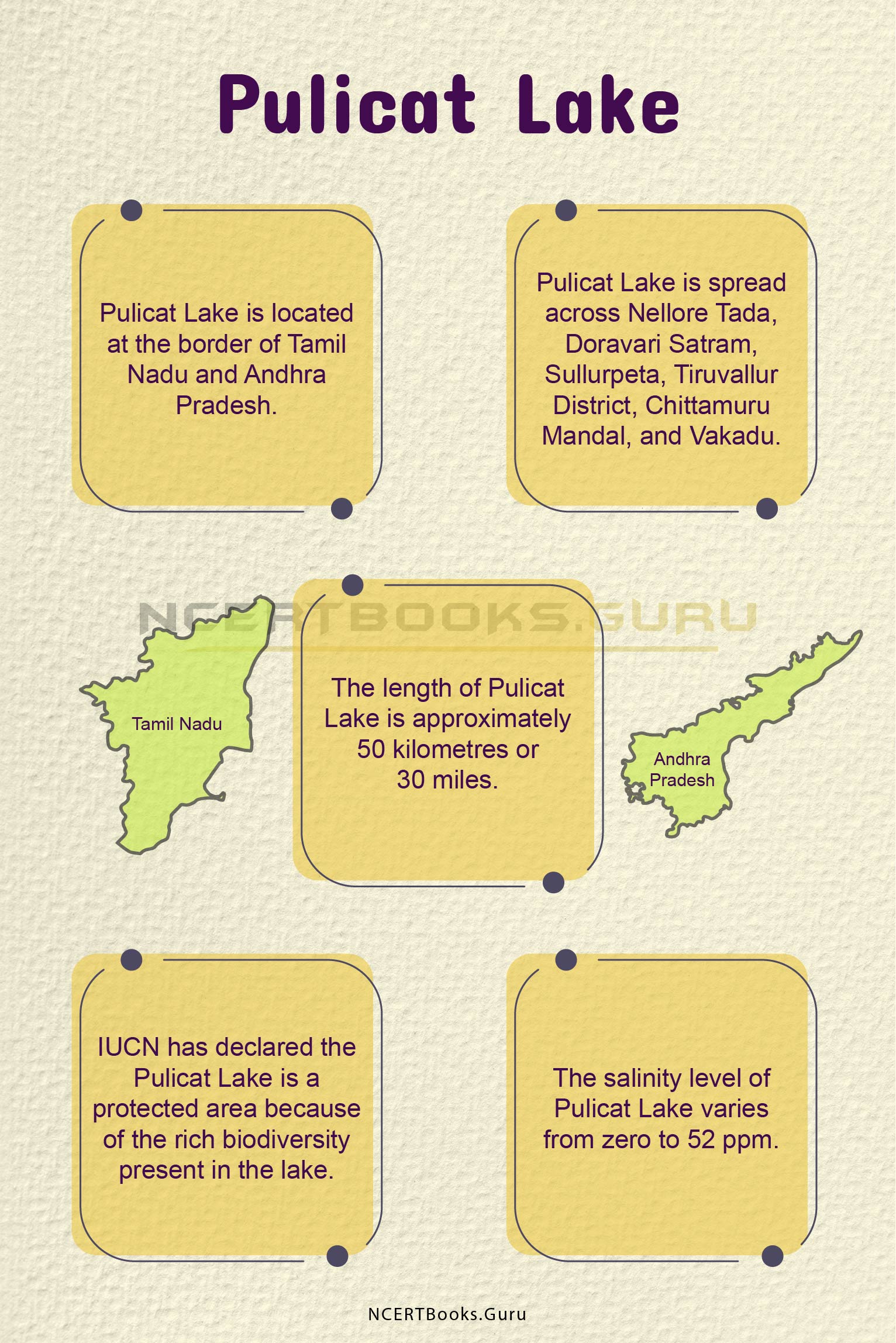
  • Pulicat Lake is located at the border of Tamil Nadu and Andhra Pradesh.
  • Pulicat Lake is spread across Nellore Tada, Doravari Satram, Sullurpeta, Tiruvallur District, Chittamuru Mandal, and Vakadu.
  • The length of Pulicat Lake is approximately 50 kilometres or 30 miles.
  • IUCN has declared the Pulicat Lake is a protected area because of the rich biodiversity present in the lake.
  • The salinity level of Pulicat Lake varies from zero to 52 ppm.
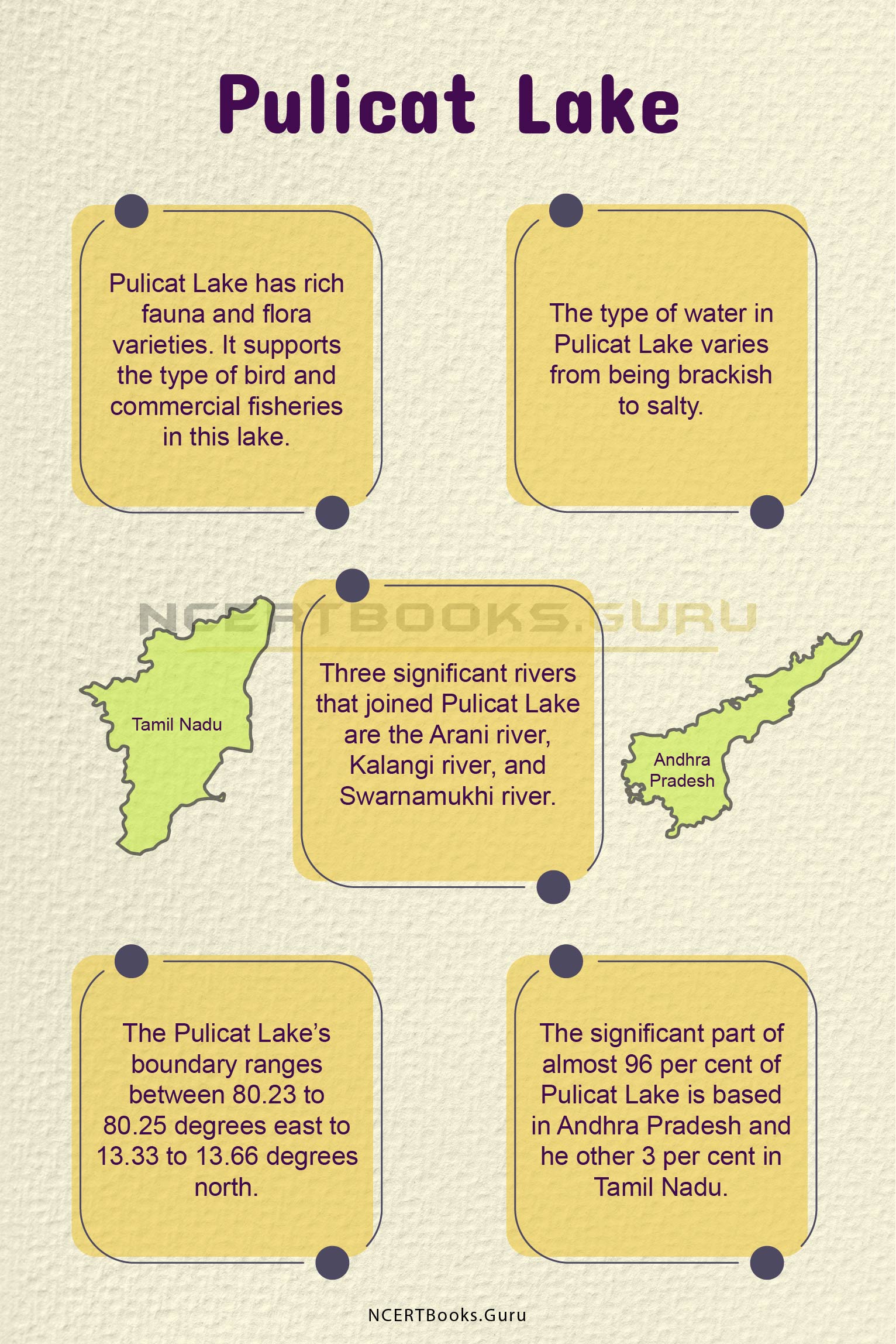
  • Pulicat Lake has rich fauna and flora varieties. It supports the type of bird and commercial fisheries in this lake.
  • The type of water in Pulicat Lake varies from being brackish to salty.
  • Three significant rivers that joined Pulicat Lake are the Arani river, Kalangi river, and Swarnamukhi river.
  • The Pulicat Lake’s boundary ranges between 80.23 to 80.25 degrees east to 13.33 to 13.66 degrees north.
  • A significant part of almost 96 per cent of Pulicat Lake is based in Andhra Pradesh and the other 3 per cent in Tamil Nadu.

Pulicat Lake 2

FAQs on Pulicat Lake

Question 1.
What is the length of Pulicat Lake?

Answer:
The length of Pulicat Lake is approximately 50 kilometres or 30 miles.

Question 2.
Which migratory birds are seen in Pulicat Lake?

Answer:
Many migratory birds like the flamingo, storks, gulls, herons, pelicans, and many others stay in the area of Pulicat Lake.

Question 3.
What are the significant sources of pollution in Pulicat Lake?

Answer:
The significant sources of pollution in this lake are sewage, agricultural chemicals, pesticides, and industrial effluents.

Question 4.
Which three rivers joined Pulicat Lake?

Answer:
Three significant rivers that joined Pulicat Lake are the Arani river, Kalangi river, and Swarnamukhi river.

MCQs on Double Circulation for NEET 2023

MCQs on Double Circulation for NEET

NEET Biology is the scoring paper in the medical entrance examination. Here, you will discover the NEET Biology MCQ Questions for all Concepts as per the latest syllabus. Practice more on a regular basis with these NEET Biology objective questions on air pollution and improve your subject knowledge & problem-solving skills along with time management. NEET Biology Double Circulation Multiple Choice Questions make you feel confident in answering the question in the exam & increases your scores to high.

MCQs on Double Circulation

1. Identify the correct statement
(a) Double circulation is characteristic of all vertebrates
(b) Volume of blood in pulmonary circulation is more than the volume of blood in systemic circulation at any instant
(c) blood pressure in pulmonary circulation is less than that of the systemic circulation
(d) a double aortic arch is seen in birds and mammals

Answer

Answer: (c)


2. The hepatic portal vein drains blood to the liver from
(a) stomach
(b) heart
(c) intestine
(d) kidneys

Answer

Answer: (c)


3. Identify the incorrect statement
(a) occurs only in mammals
(b) occurs in all vertebrates
(c) is composed of systemic circulation
(d) is composed of pulmonary circulation

Answer

Answer: (b)


4. Pick the most appropriate statement(s) as part of explanation for this statement – “Adult human RBCs are enucleate”.
I. Their internal space is available for oxygen transport
II. They are somatic cells
III. They do not need to reproduce
IV. They do not metabolise
(a) Only (I)
(b) Only (II)
(c) (I), (III) and (IV)
(d) (III) and (IV)

Answer

Answer: (a)


5. Blood pressure in the pulmonary artery is
(a) same as that in the aorta
(b) less than that in venae cavae
(c) more than that in the carotid
(d) more than that in the pulmonary vein

Answer

Answer: (d)


6. A stethoscope is used by doctors for cardiac auscultation. The second sound of each cardiac cycle is heard when
(a) AV node receives signal from SA node
(b) Semilunar valves close down after the blood flows into vessels from ventricles
(c) AV valves open up
(d) Ventricular walls vibrate due to gushing in of blood from atria

Answer

Answer: (b)


7. Blood pressure is maximum in mammalian aorta during
(a) diastole of the right ventricle
(b) systole of the left atrium
(c) diastole of the right atrium
(d) systole of the left ventricle

Answer

Answer: (d)


8. A patient admitted to the hospital with myocardial infarction is immediately administered with
(a) Streptokinase
(b) Statins
(c) Cyclosporin – A
(d) Penicillin

Answer

Answer: (a)


9. Systemic circulation in the cardiac system refers to
(a) carry red oxygenated blood
(b) carry blood to the left side of the heart
(c) carry blood to the right side of the heart
(d) carry oxygenated blood from lungs to heart

Answer

Answer: (c)


10. Oxygenated blood in the cardiac system
(a) leaves from right side of the heart
(b) leaves from left side of the heart
(c) enters lungs from heart
(d) does not leave the lungs

Answer

Answer: (b)


Updated 2021-22 CBSE Class 10 English Literature Reader NCERT Solutions Book PDF Download

NCERT Solutions for Class 10 English Literature Reader PDF Download

Are you facing issues while browsing chapter-wise NCERT Solutions for class 10 English literature reader book? Don’t get tensed as we are here with the complete list of Class 10 English NCERT Textbook Solutions in PDF so you can prepare any of the concepts in no time. Also, by availing the experts prepared CBSE Class 10 NCERT English Solutions PDF you can clarify all your doubts in few seconds.

Our experts created these NCERT Solutions for Class 10 English as per the CBSE Curriculum for Academic Year 2021-22. Hence, you will have a stronger foundation of the subject and handle answering different types of questions easily. Assess your preparation by practicing the updated 2021-22 MCQ Questions for Class 10 English with Answers and improve your subject skills.

Chapter-wise NCERT Solutions for Class 10 English Literature Reader PDF Download

The list of chapterwise NCERT Solutions for Class 10 English Literature Reader PDF is up to date and they are part of NCERT Solutions for Class 10 English. So, we advise students to download the NCERT Textbook Solutions Book of class 10 English literature reader in PDF Format and try to answer the questions so effectively in the final exams. All chapters from Fiction, Poetry, and Drama are covered in these CBSE Class 10 English Literature NCERT Book Solutions PDF just tap on the respective link and ace up your preparation to enhance your english grammar skills.

NCERT Solutions for Class 10 Communicative English

NCERT Solutions for Class 10 English Literature Reader

Fiction

Poetry

Drama

NCERT Solutions for Class 10 English Literature Reader PDF Download

Advantages of availing CBSE NCERT Class 10 English Literature Reader Textbook Solutions 2021-22

Students can view so many advantages of accessing class 10 English NCERT Solutions book but we have curated some of them for your reference:

  • NCERT Solutions provided here are free to download at any time and anywhere.
  • Experience in-house subject experts designed these solutions books for students in a simple language so they can easily understand the concepts.
  • All solutions are explained in a concise and to-the-point so it helps students learn faster.
  • Our experts prepared NCERT textbook solutions & other study materials as per the latest and updated CBSE new pattern and follow the prescribed guidelines of NCERT.
  • All Chapters in CBSE Class 10 English literature reader syllabus are covered in this NCERT Solutions Book so download them for free and start your preparation with ease.

FAQs on Class 10 English Literature Reader NCERT Book Solutions PDF

1. Where can I find the Chapterwise NCERT Solutions of Class 10 English Literature Reader for free?

You can find the Chapterwise NCERT Class 10 English Literature Reader Solutions for free on our page.

2. How can I download the 10th Class English Literature Reader NCERT Solutions PDF?

You can download the 10th Class English Literature Reader NCERT Solutions PDF by just hitting on the quick links available on our NCERTBooks.Guru website.

3. Does preparing with CBSE Class 10 NCERT Solutions English Literature Book help me to get good marks in exams?

Yes, preparing from CBSE Class 10 English Literature Reader NCERT Solutions Book assists all students to score good grades in exams and also improve English grammar skills.

Conclusion

We believe the data given on our page is genuine and true according to my knowledge. For more details and other assistance kindly reach us via the comment section below. Also, stay connected with our site to avail latest updates on NCERT Textbooks PDF, Classwise NCERT Solutions of different subjects, Previous Question Papers all in one place.

Pangong Lake History, Map, System, Pollution and Importance

Pangong Lake

Pangong Lake is also called the Pangong Tso. It is an endorheic lake that means it retains the water without any outflow to the outside of it. This lake covers Ladakh and West Tibet. Approximately 50 per cent of this lake is in Ladakh, and 40 per cent is in West Tibet.

The rest 10 per cent is controversial but controlled by China. The water of this lake contains a large amount of dissolved salt which results in complete freezing of the water during the winter season.

Pangong Lake Details

Countries Covered India and China
Another Name Pangong Tso
Length Approximately 160 kilometres
Height 4350 meters
Colour of Water Blue, green, and red
Reason for pollution Tourism

About Pangong Lake

Pangong Lake is a well-known endorheic lake that flows from India to China. This lake is situated at the height of 4350 m. Pangong Lake is one of the popular tourist destinations in India. The aesthetic beauty of Pangong Lake brings many foreigners to visit India.

The lake is in the process of being called a wetland of international significance under the Ramsar Convention. If it happens, Pangong Lake will be the first trans-boundary wetland in South Asia. One of the popular features of this lake is its capacity to change colours. Pangong name came from a Tibetan word, Banggong Co. It means an enchanted and narrow lake.

The one-third portion of this lake lies in India, and China controls the other two-thirds part. Pangong Lake doesn’t have any vegetation and aquatic life because it freezes completely in the winter season due to its saline water. The lake is situated close to the India-China border which makes it a temperate region. Pangong Lake in India has a tranquil surrounding and picturesque landscapes.

Have a look at the List of Important Lakes in India that you need to know for your competitive exams to score well.

Pangong Lake History

The Pangong Lake is situated at the height of 4350 m. This lake covers a total area of approximately 160 kilometres. Pangong lake glitters throughout the day and changes its colour from blue to green as the sunlight skids across its surface. This lake has a rich historical background which makes it a dreamlike beauty. It has immense geopolitical value as well.

Pangong Lake is situated at the actual line of control between India and China. Both the Indian government and the Chinese government are sensitive regarding Pangong Lake. Deldan Namgyal, the king of Ladakh, used to support Bhutan in the Tibet-Indian war in the 17th century. The peeved Tibetans had attacked Ladakh, and Deldan was unable to fight against them. As a result, Deldan looked for assistance from the Mughals.

Ultimately an agreement happened in 1684, and Deldan gave away portions of his territory to the Regent of Tibet. As a result, this lake is divided into India and China. Pangong Lake is still a controversial topic for India and China. Ten percent of this lake is still a matter of debate between these two countries. However, it is controlled by the Chinese government.

Pangong Lake Map

The length of Pangong Lake is approximately 160 kilometres. This lake covers Ladakh and West Tibet. Approximately 50 percent of this lake is in Ladakh, and 40 per cent is in West Tibet.

The rest 10 per cent is controversial but controlled by China. Its water seems sparkling blue in contrast to the arid mountains surrounding it. It is one of the famous lakes in Leh Ladakh. Pangong Lake is a beautiful piece of nature and an attractive tourist hotspot. However, many activities like staying in a hotel or going too far in the lake, and boating is not allowed in this lake due to its controversial geographical location.

The colour of the water of Pangong Lake changes to blue, green, and red. The weather of this lake remains cold, and the water gets frozen during the winter season. In Ladakhi Pangong means extensive concavity. In Tibet, Tso means lake. Pangong Lake is also called Pangong Tso because of its mixed heritage.

Pangong Lake System

The shape of Pangong Lake is like a boomerang. The water of this lake is not drinkable. As the water of the river gets frozen in winter, the vehicular movement also becomes possible in the lake. The lake flows through the actual control between India and China.

Both of these countries have unsettled borders which makes the lake a topic of political controversy. Ten per cent of this lake is patrolled by both India and China. Though this part is not occupied by any of them, it is mainly controlled by China. The situation between both of these countries has not improved yet. The delicate beauty of this lake is featured in a popular Indian movie called ‘3 Idiots’.

Pangong Lake Pollution

The primary source of pollution in Pangong Lake is the increasing tourism in Ladakh. Pangong Lake has started facing the threat of pollution recently. Recent increasing tourism in the Himalayas has contributed to the pollution in Pangong Lake. A vast number of people began visiting Leh Ladakh.

This lake was not popular among Indian tourists until it was filmed in two popular Indian movies, ‘3 Idiots’ and ‘Jab Tak Hai Jan’. According to the officials of Leh, more than six hundred vehicles go to Pangong Lake every day. A large amount of plastic waste flows into the lake. Solid waste is also there on the sides of Pangong Lake. These solid wastes often get carried away by the wind into the lake.

Waste material is collected from the houses and restaurants of this area but dumped in open areas without any treatment. However, the authority is in the process to use mechanisms to treat the waste. Many waste materials mix in the lake through small channels. Many unplanned cafes and hotels have been built up close to the lake. However, the officials of Leh are in the process to create a hundred meters buffer zone between the cafes and the lake.

Pangong Lake Importance

Pangong Lake is an integral part of the geopolitical relation between India and China. The lake flows through the line of actual control (LAC) of these two countries. The Chinese government had built multiple roads on the banks of this lake. This lake has become a hotspot for Indian tourists after the beauty of this wetland got featured in two popular Indian movies, ‘3 Idiots’ and ‘Jab Tak Hai Jan’. However, tourists are allowed only around 7 kilometres of Pangong Lake.

The lake contains saline water. As a result, the water of the river gets frozen during the winter season. So, tourists get the opportunity to do ice-skating and play polo in the lake. The locals also had the opportunity to earn money through tourism in Pangong Lake. Many cafes, hotels, and restaurants have been built up in the Pangong Lake area recently. However, the primary importance of this lake is its geographical location. India and China still do not have a settled border. So, both of the countries use this lake to look over each other.

Short Essay on Pangong Lake

Pangong Lake is a well-known endorheic lake that flows from India to China. This lake is situated at the height of 4350 m. The shape of Pangong Lake is like a boomerang. This lake covers Ladakh and West Tibet. Approximately 50 percent of this lake is in Ladakh, and 40 per cent is in West Tibet.

The rest 10 per cent is controversial but controlled by China. Pangong Lake is an essential part of the geopolitical relation between India and China. The lake flows through the line of actual control (LAC) of these two countries. This lake has a rich historical background which makes it a dreamlike beauty. Deldan, the king of Ladakh, gave away portions of his territory to the Regent of Tibet. As a result, this lake is divided into India and China. Pangong Lake is still a controversial topic for India and China.

Pangong Lake is also called Pangong Tso because of its mixed heritage. The primary source of pollution in Pangong Lake is the increasing tourism in Ladakh. Pangong Lake has started facing the threat of pollution recently. Recent increasing tourism in the Himalayas has contributed to the pollution in Pangong Lake. The lake contains saline water. As a result, the water of the river gets frozen during the winter season. So, tourists get the opportunity to do ice-skating and play polo in the lake.

Pangong Lake History

Ten Lines on Pangong Lake

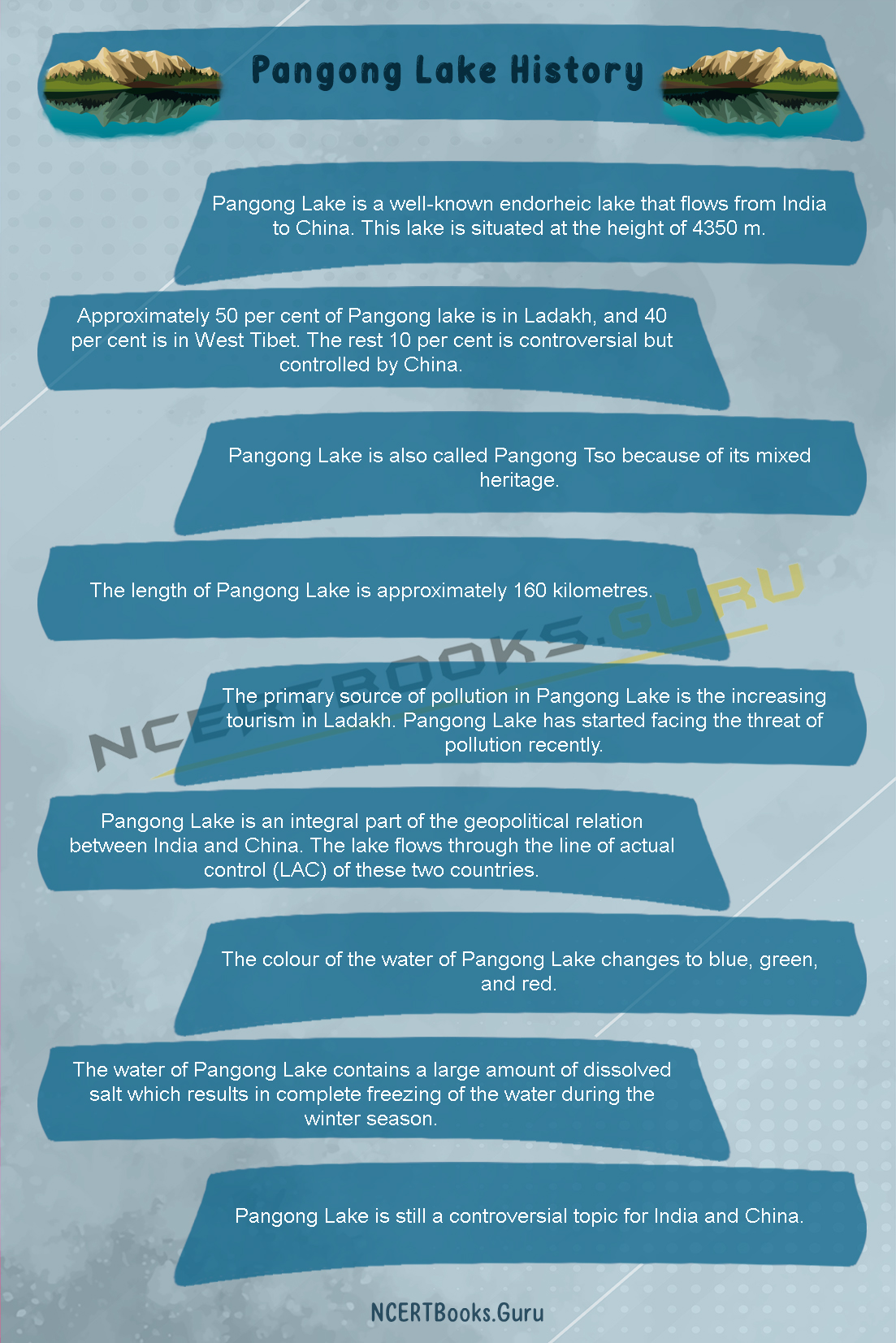
  • Pangong Lake is a well-known endorheic lake that flows from India to China. This lake is situated at the height of 4350 m.
  • Pangong lake covers Ladakh and West Tibet.
  • Approximately 50 per cent of Pangong lake is in Ladakh, and 40 per cent is in West Tibet. The rest 10 per cent is controversial but controlled by China.
  • Pangong Lake is also called Pangong Tso because of its mixed heritage.
  • The length of Pangong Lake is approximately 160 kilometres.
  • The primary source of pollution in Pangong Lake is the increasing tourism in Ladakh. Pangong Lake has started facing the threat of pollution recently.
  • Pangong Lake is an integral part of the geopolitical relation between India and China. The lake flows through the line of actual control (LAC) of these two countries.
  • The colour of the water of Pangong Lake changes to blue, green, and red.
  • The water of Pangong Lake contains a large amount of dissolved salt which results in complete freezing of the water during the winter season.
  • Pangong Lake is still a controversial topic for India and China.

FAQs on Pangong Lake

Question 1.
What is the length of Pangong Lake?

Answer:
The length of Pangong Lake is approximately 160 kilometres.

Question 2.
Why does the water of Pangong Lake get frozen in winter?

Answer:
The water of Pangong Lake contains a large amount of dissolved salt which results in complete freezing of the water during the winter season.

Question 3.
What is the primary source of pollution in Pangong Lake?

Answer:
The primary source of pollution in Pangong Lake is the increasing tourism in Ladakh.

Question 4.
Does the colour of the Pangong Lake change?

Answer:
Yes, the colour of the water of Pangong Lake changes to blue, green, and red.

SCERT Kerala Books for Class 10 ICT | Kerala State Syllabus 10th Standard Textbooks English Malayalam Medium

SCERT Kerala Books for Class 10 ICT

SCERT Kerala Books Class 10 ICT: The State Council of Education Research and Training(SCERT Kerala) publishes ICT textbooks for Class 10 in English & Malayalam Medium. The SCERT Samagra Kerala Class 10th ICT textbooks are well known for it’s updated and thoroughly revised syllabus. The SCERT Kerala ICT Books are based on the latest exam pattern and Kerala State syllabus.

SCERT Kerala keeps on updating the ICT books with the help of the latest question papers of each year. The Class 10 ICT books of SCERT Kerala are very well known for its presentation. The use of SCERT Kerala State Books for Class 10 ICT is not only suitable for studying the regular syllabus of various boards but it can also be useful for the candidates appearing for various competitive exams, Engineering Entrance Exams, and Olympiads.

SCERT Kerala Class 10 ICT Books PDF Download

SCERT Kerala Class 10 ICT Books are provided in PDF form so that students can access it at any time anywhere. Class 10 SCERT Kerala Syllabus ICT Books are created by the best professors who are experts in ICT and have good knowledge in the subject.

SCERT Kerala State Syllabus Class 10 ICT Books:

SCERT Kerala State Syllabus Class 10 ICT Books in Malayalam:

The SCERT Kerala syllabus mainly focuses on this book to make it student-friendly to make it useful for both the students and the competitive exam aspirants. The book covers a detailed ICT based on the syllabuses of various boards. SCERT Kerala ICT Books for Class 10 is perfectly compatible with almost every Indian education state and central boards.

We hope that this detailed article on SCERT Kerala Samagra Textbooks for Class 10 ICT helps you in your preparation and you crack the SSLC exams or competitive exams with excellent scores.